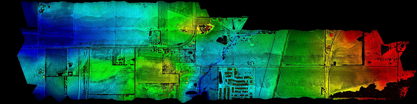
Our team completed the schematic design survey for approximately two miles of FM 428 and County Road 55/Glendenning Parkway, from 1,000 ft west of Dallas Parkway to 1,000 ft east of SH 289 (Preston Road), for the Texas Department of Transportation (TxDOT). We established four permanent horizontal and vertical control monuments and set secondary control points along the proposed route. Our field crews recovered property corners and right-of-monuments and our office personnel completed the right-of-way verification map for the proposed route. Field crews also surveyed the locations of drainage structures, utilities, signs, and creeks within the existing right-of-way. We completed the aerial mapping of the proposed route, which included 700 ft on each side of the proposed alignment. The planimetric (2D) features were extracted by processing the orthoimagery obtained from a fixed wing UAV flight, and the .tin (3D) data was created by using the Lidar point cloud data gathered from a helicopter flight. Deliverables included signed and sealed control sheets, imagery and point cloud files, and microstation files completed to TxDOT standards.